


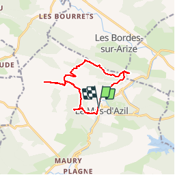

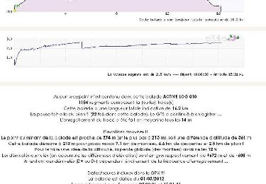
16.2 km | 23 km-effort

User


FREE GPS app for hiking
 SityTrail
IGN / Geographical institutes
SityTrail World
The world is yours!
Trail Walking of 13.1 km to be discovered at Occitania, Ariège, Le Mas-d'Azil. This trail is proposed by randodan.
2014 - Camp de base : Soueix<br>
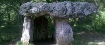
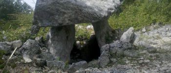
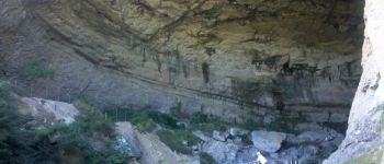
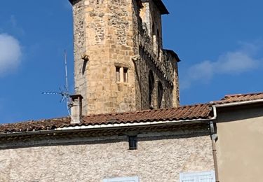
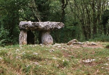
- 06 sept. - Les Dolmens du Mas d'Azil.<br>
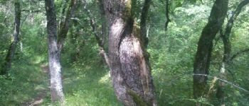
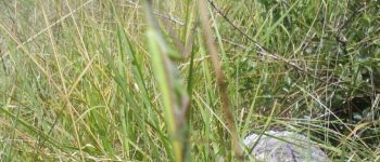
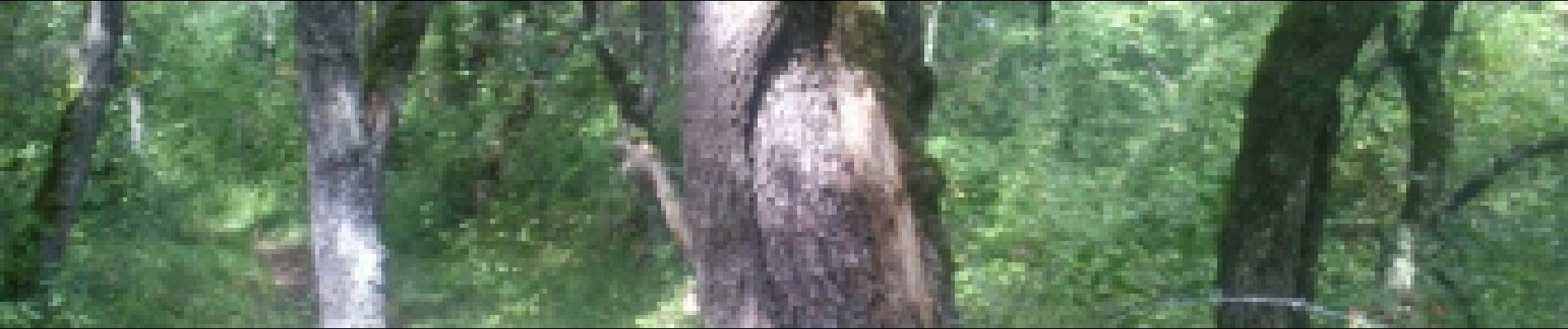
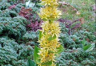
Départ 10h30 de chez Michel . Dolmen du Cap de Pouech, Dolmen de Brillaud . Au passage, une curiosité : des petits chênes enserrés par des tiges de lierre presqu'aussi grosses que le tronc des arbres eux-même.<br>
13h, pique-nique au pied du Mont Calbech.<br>
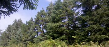
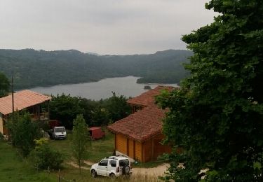
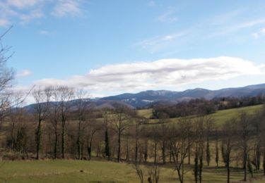
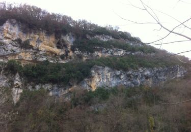
14h, on repart pour la Crête de la Caire qui surplombe les Bordes-sur-Arize et la cuvette du Mas d'Azil . Recherche d'une borne de nivellement... introuvable, en essayant de voir une carrière... invisible à cause de la végétation . A la descente sur le Mas d'Azil, attention : le sentier présente 2 passages étroits et en dévers, praticable uniquement par temps sec.<br>
16h40, de retour chez Michel.<br>
<small>(Ce circuit serait vraiment facile s'il n'y avait ces très courts passages en dévers IMPRATICABLES par temps de pluie, je le classe donc "moyen").</small>


Walking
Walking
Walking
Mountain bike
Mountain bike
Equestrian
Equestrian
Equestrian
Equestrian